Add a Curriculum Bundle to Your Account!
Please select a bundle.

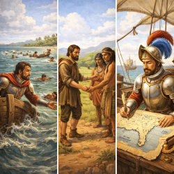

The Pack contains associated resources for the learning experience, typically in the form of articles and videos. There is a teacher Pack (with only teacher information) and a student Pack (which contains only student information). As a teacher, you can toggle between both to see everything.
Here are the teacher pack items for Early Spanish Explorers:


Overview In this experience, students examine three early Spanish explorers connected to the history of the land that is now Texas: Pánfilo de Narváez, whose expedition ended in disaster; Álvar Núñez Cabeza de Vaca, a survivor who traveled through the region and later wrote about his experiences and encounters with Indigenous peoples; and Alonso Álvarez de Pineda, whose 1519 expedition mapped the Gulf Coast and produced the earliest known European map showing part of the Texas coast. Estimated Duration: 45–60 minutes Vocabulary Words: Objectives:
Spanish explorers of the 1500s traveled with the navigation tools available at the time. They used devices such as hourglasses to measure time, compasses to determine direction, and quadrants to help estimate their location using the sun or stars. They also relied on nautical charts, although European knowledge of the geography of the Americas was still developing.
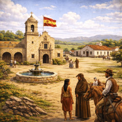
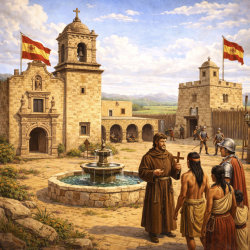
As Spanish expeditions traveled through the land that is now Texas, they encountered unfamiliar environments as well as Indigenous peoples who had lived in the region for generations. In this lesson, you will learn about several early Spanish expeditions, their goals, the challenges they faced, and their encounters with Indigenous communities.
Objectives:

Spanish explorers made some of the earliest maps of places that are now part of Texas. Look at the map above. This map was drawn by Álvarez de Pineda in 1519.
After looking at the map, which region of Texas do you think is shown?
The map is of the Gulf of Mexico coastline, drawn by Alonso Álvarez de Pineda in 1519. Students will learn more about this map and Pineda’s expedition in scene 4 of this experience. Consider asking students to explain the details that helped them determine what geographic region of Texas was drawn. Encourage students to use evidence. Consider following up by asking students why it might be important to see old maps like this? What we might learn from looking at them? and Why the maps might have been important at the time?
When everyone is ready to continue, unlock the next scene.