Add a Curriculum Bundle to Your Account!
Please select a bundle.


The Pack contains associated resources for the learning experience, typically in the form of articles and videos. There is a teacher Pack (with only teacher information) and a student Pack (which contains only student information). As a teacher, you can toggle between both to see everything.
Here are the teacher pack items for Comparing the Regions of Texas:


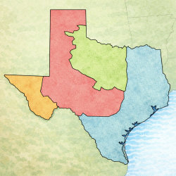
Overview In this experience, students label the four physical regions of Texas on a map. Then they create a general map of Texas, with a list of things to include. Next they create a chart comparing and contrasting the four regions. Finally they evaluate their school’s location and how it fits the region’s typical physical characteristics. Estimated duration: 50-75 minutes, depending on which strategy you choose for completing the map Discovery Reading A printable Discovery Reading is included in the student pack as a support for understanding the experience’s core content and concepts. This Discovery Reading is not necessary to complete the experience and serves as an optional support resource. Vocabulary Words: These vocabulary words are used in the experience or connect closely to the standards and content students examine. Students should understand these terms as they work through the experience. Objectives
In order to complete this experience, students must have completed the experiences: Regions of Texas: Mountains & Basins, Regions of Texas: Great Plains, Regions of Texas: North Central Plains, and Regions of Texas: Coastal Plains. Students will use what they have learned in these prior experiences to complete the tasks in this experience.
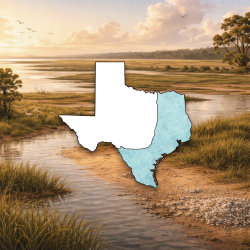
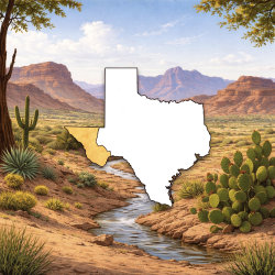
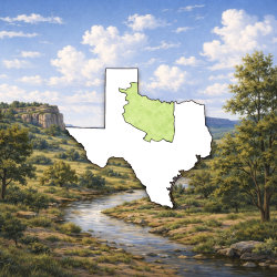
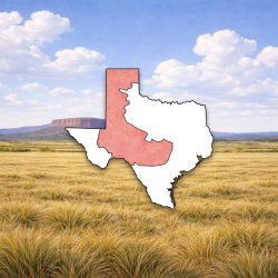
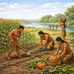
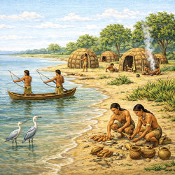
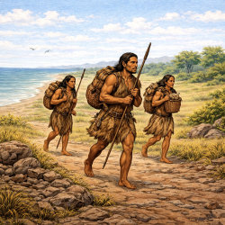
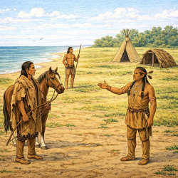
Texas is divided into four regions—the Mountains and Basins, the Great Plains, the North Central Plains, and Coastal Plains. The regions are determined by the physical geography, such as landforms, climate, and vegetation. You have learned about the regions in this unit. In this experience, you will summarize what you have learned so far.
Objectives
If your students have completed the previous four experiences in this unit, they should be able to correctly label the map.