Add a Curriculum Bundle to Your Account!
Please select a bundle.


The Pack contains associated resources for the learning experience, typically in the form of articles and videos. There is a teacher Pack (with only teacher information) and a student Pack (which contains only student information). As a teacher, you can toggle between both to see everything.
Here are the teacher pack items for Turkey to Afghanistan: Geographic Passport:

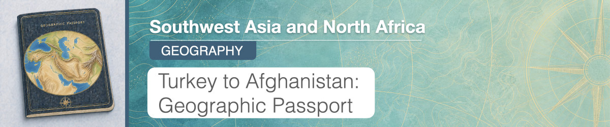
Overview In this experience, students examine the physical geography of Iran, Afghanistan, Turkey, and Cyprus by analyzing maps, photographs, and geographic information. They compare patterns in landforms, climate, and population distribution, then investigate one country in greater detail to explain how geographic features shape the environment and human activity. In scene 4, students work in small groups, each assigned to research one of the four countries. Objectives:
Turkey, Cyprus, Iran, and Afghanistan stretch across a broad area between the eastern Mediterranean Sea and Central and South Asia. Although these countries are often studied as part of the same general region, they do not have the same physical environment.
Their locations differ in important ways. Cyprus is an island in the Mediterranean Sea. Turkey lies between Europe and Asia and is surrounded by several seas. Iran has coastlines along the Persian Gulf and Gulf of Oman as well as large mountain and desert regions. Afghanistan is landlocked and contains extensive mountain ranges.
Location is only the beginning of understanding a place. Geographers also examine landforms, climate, water, and patterns of settlement to understand why places within the same region can look and function very differently.
In this experience, you will compare Turkey, Cyprus, Iran, and Afghanistan and investigate how physical geography helps shape the environments and settlement patterns of each country.
Objectives:
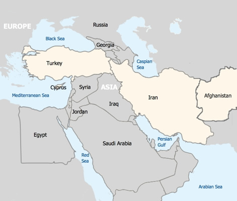
Locate Turkey, Cyprus, Iran, and Afghanistan on the map above.
Based on their locations on the map, what geographic differences do you predict you will find among these four countries? Explain what on the map led you to your prediction.
After students respond, invite several students to share their predictions and identify the map evidence that led to them. Record a few ideas, but do not confirm or correct them yet. Use the discussion to surface geographic factors such as access to seas, distance from large bodies of water, relative location, neighboring regions, island versus landlocked location, and the possible presence of mountains or interior land areas. Tell students they will test these predictions by comparing several types of maps in the next scene. Possible follow-up questions include:
When everyone is ready to continue, unlock the next scene.


